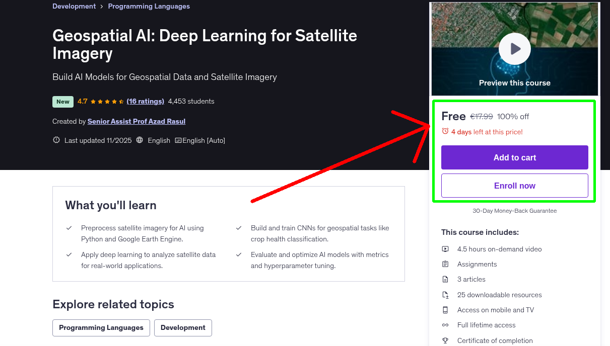
What You'll Learn
- Preprocess satellite imagery for AI using Python and Google Earth Engine.
- Build and train CNNs for geospatial tasks like crop health classification.
- Apply deep learning to analyze satellite data for real-world applications.
- Evaluate and optimize AI models with metrics and hyperparameter tuning.
Requirements
- No prior experience needed! Basic Python knowledge is helpful but not required. You'll need a computer, internet access, and a free Google account for Google Colab. All tools and datasets are provided in the course!
Who This Course is For
- Beginner Data Scientists: New to AI and geospatial analysis, eager to learn deep learning for satellite imagery.
- GIS Professionals: Looking to integrate AI into geospatial workflows for tasks like land cover or crop analysis.
- Environmental Researchers: Interested in applying CNNs to satellite data for climate or agricultural studies.
- Students and Hobbyists: Curious about geospatial AI, with basic Python skills or a willingness to learn.
Your Instructor
Senior Assist Prof Azad Rasul
Top 2% Scientist 2025 | Python, R, & Remote Sensing Expert.
4.3 Instructor Rating
1,265 Reviews
98,635 Students
10 Courses
Related Courses
More free Machine Learning courses you might be interested in
 Free 100% Off
Today
Expires in 3 days
Free 100% Off
Today
Expires in 3 days
Python for AI and Machine Learning
Master Python for Artificial Intelligence and Machine Learning with TensorFlow, PyTorch, and Scikit…
 Free 100% Off
Today
Expires in 3 days
Free 100% Off
Today
Expires in 3 days
Harnessing AI and Machine Learning for Geospatial Analysis
Master AI, Deep Learning and ML for Geospatial Analysis
 Free 100% Off
Today
Expires in 2 days
Free 100% Off
Today
Expires in 2 days
SoAI-Certified Professional: AI Infrastructure (NCP-AII)
Master GPU-powered AI infrastructure design, orchestration, security, and scalability with SoAI NCP…
![[FR] De la Recette au Chef : Devenez Ingénieur en LLM](https://img-c.udemycdn.com/course/750x422/6583077_cd56_2.jpg) Free 100% Off
Today
Expires in 2 days
Free 100% Off
Today
Expires in 2 days
[FR] De la Recette au Chef : Devenez Ingénieur en LLM
Maîtrisez les LLM sans coder ! Apprenez l’IA avec des analogies culinaires amusantes. (AI)
Never Miss a Coupon!
Subscribe to our newsletter to get daily updates on the latest free courses.