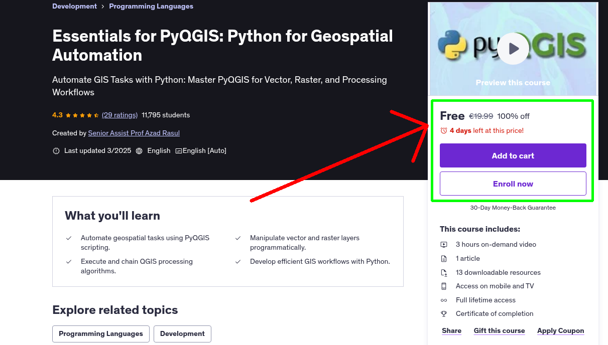
What You'll Learn
- Automate geospatial tasks using PyQGIS scripting.
- Manipulate vector and raster layers programmatically.
- Execute and chain QGIS processing algorithms.
- Develop efficient GIS workflows with Python.
Requirements
- Basic understanding of GIS concepts and QGIS. Fundamental knowledge of Python programming. QGIS installed with Python support enabled. Interest in automating geospatial workflows.
Who This Course is For
- GIS professionals looking to automate workflows. Python developers interested in geospatial analysis. Students and researchers working with GIS data. QGIS users wanting to enhance their scripting skills.
Your Instructor
Senior Assist Prof Azad Rasul
Top 2% Scientist 2025 | Python, R, & Remote Sensing Expert.
4.3 Instructor Rating
1,265 Reviews
98,635 Students
10 Courses
Related Courses
More free Python courses you might be interested in
 Free 100% Off
Today
Expires in 3 days
Free 100% Off
Today
Expires in 3 days
Python
English
Python Data Analysis Bootcamp - Pandas, Seaborn and Plotly
Complete, in-depth and pratical understanding of modern data analysis techniques.
 Free 100% Off
Today
Expires in 3 days
Free 100% Off
Today
Expires in 3 days
Python
English
Essentials for ArcPy: Python for Geospatial Automation
Automate GIS tasks, process raster and vector data, and develop custom tools.
 Free 100% Off
Today
Expires in 3 days
Free 100% Off
Today
Expires in 3 days
Python
English
Python for GIS Automation and Geospatial Applications
"Automate GIS Workflows and Build Real-World Geospatial Projects with ArcPy, PyQGIS, and Python.
 Free 100% Off
Today
Expires in 3 days
Free 100% Off
Today
Expires in 3 days
Python
English
Programming for Scientific Research with Python and R
Mastering Python and R for Scientific Data Analysis
Never Miss a Coupon!
Subscribe to our newsletter to get daily updates on the latest free courses.