What You'll Learn
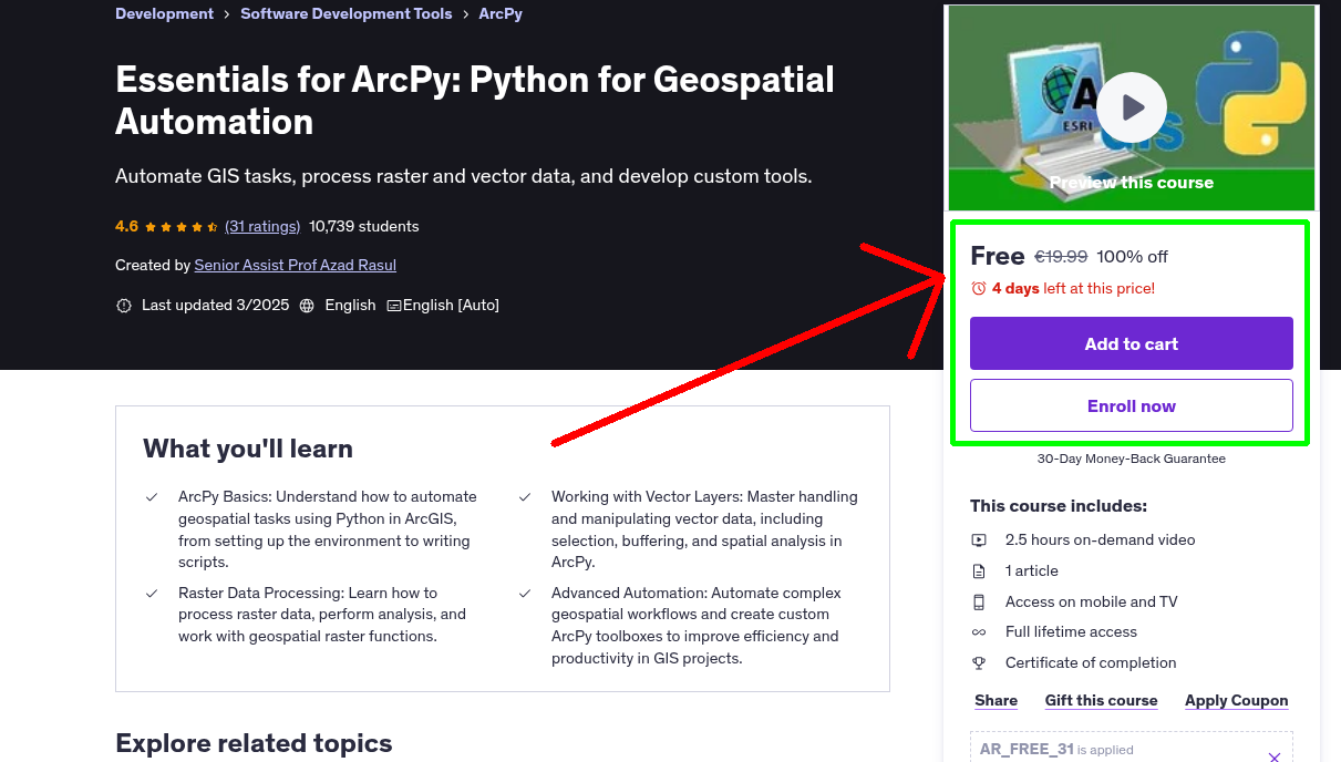
- ArcPy Basics: Understand how to automate geospatial tasks using Python in ArcGIS, from setting up the environment to writing scripts.
- Working with Vector Layers: Master handling and manipulating vector data, including selection, buffering, and spatial analysis in ArcPy.
- Raster Data Processing: Learn how to process raster data, perform analysis, and work with geospatial raster functions.
- Advanced Automation: Automate complex geospatial workflows and create custom ArcPy toolboxes to improve efficiency and productivity in GIS projects.
Requirements
- Basic Knowledge of GIS: Familiarity with GIS concepts and tools, especially ArcGIS.
- Python Programming Basics: Understanding the basics of Python programming, such as variables, loops, and functions.
- ArcGIS Software: Access to ArcGIS software with the ability to use the Python console.
Who This Course is For
- GIS Professionals: Individuals looking to automate geospatial analysis and streamline GIS workflows using Python and ArcPy.
- Python Developers: Python programmers interested in applying their skills to geospatial automation and GIS data processing.
- nvironmental Scientists: Professionals working with geospatial data, such as satellite imagery, for environmental monitoring and analysis.
- Students and Researchers: Those in academic or research settings who want to learn how to use ArcPy for geospatial automation and analysis in their projects.
Your Instructor
Senior Assist Prof Azad Rasul
Top 2% Scientist 2025 | Python, R, & Remote Sensing Expert.
4.3 Instructor Rating
1,265 Reviews
98,635 Students
10 Courses
Related Courses
More free Python courses you might be interested in
 Free 100% Off
Today
Expires in 3 days
Free 100% Off
Today
Expires in 3 days
Python
English
Python Data Analysis Bootcamp - Pandas, Seaborn and Plotly
Complete, in-depth and pratical understanding of modern data analysis techniques.
 Free 100% Off
Today
Expires in 3 days
Free 100% Off
Today
Expires in 3 days
Python
English
Essentials for PyQGIS: Python for Geospatial Automation
Automate GIS Tasks with Python: Master PyQGIS for Vector, Raster, and Processing Workflows
 Free 100% Off
Today
Expires in 3 days
Free 100% Off
Today
Expires in 3 days
Python
English
Python for GIS Automation and Geospatial Applications
"Automate GIS Workflows and Build Real-World Geospatial Projects with ArcPy, PyQGIS, and Python.
 Free 100% Off
Today
Expires in 3 days
Free 100% Off
Today
Expires in 3 days
Python
English
Programming for Scientific Research with Python and R
Mastering Python and R for Scientific Data Analysis
Never Miss a Coupon!
Subscribe to our newsletter to get daily updates on the latest free courses.